BSR Web 2.0
  • Home
  • About The Restoration
    • Motivation
    • Methods
    • Results & Goals >
      • Overview
      • Results
      • Implications
    • Funding
  • Research
    • Monitoring >
      • Freeze-Thaw Experiments
    • Publications
    • Honors & Awards
  • Media Gallery
    • Visualizations
    • Videos
    • Photos
    • Podcasts
    • Press
  • Partners
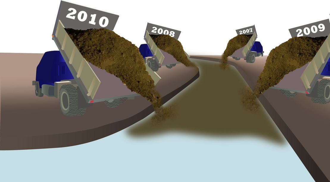
Repeat topographic surveying prior to restoration demonstrates that ~91 tons/year 
was eroded from stream banks that consisted of nearly 100% fine sediment easily and routinely transported in suspension during moderate to high flow events
​

Picture
We estimate from gage data and repeat RTK GPS surveying that not only is bank erosion no longer a source of sediment, hence explaining the reduction from 218 to 109 tons of sediment leaving the restoration area per year, but also 15 tons of fine sediment was stored within the restoration reach the first year after restoration began
​
Picture
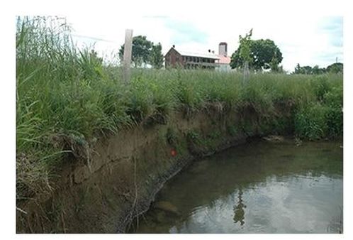
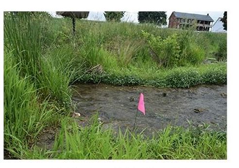
The shift in vegetation characteristics between pre and post restoration time periods was from a plant community dominated by facultative upland, non-native species to a plant community dominated by obligate/facultative wetland, primarily native wetland plants
​
Picture
Picture

pre restoration - june 2007

Poa pratensis (Kentucky bluegrass) 
Festuca elatior (common fescue)  
Dactylus glomerata (orchard grass)

post restoration - june 2014

Nasturtium officinale (water cress) 
Schoenoplectus tabernaemontana (bulrush) 
Phalaris arundinaria (reed canary grass) 
Powered by Create your own unique website with customizable templates.
  • Home
  • About The Restoration
    • Motivation
    • Methods
    • Results & Goals >
      • Overview
      • Results
      • Implications
    • Funding
  • Research
    • Monitoring >
      • Freeze-Thaw Experiments
    • Publications
    • Honors & Awards
  • Media Gallery
    • Visualizations
    • Videos
    • Photos
    • Podcasts
    • Press
  • Partners